Response
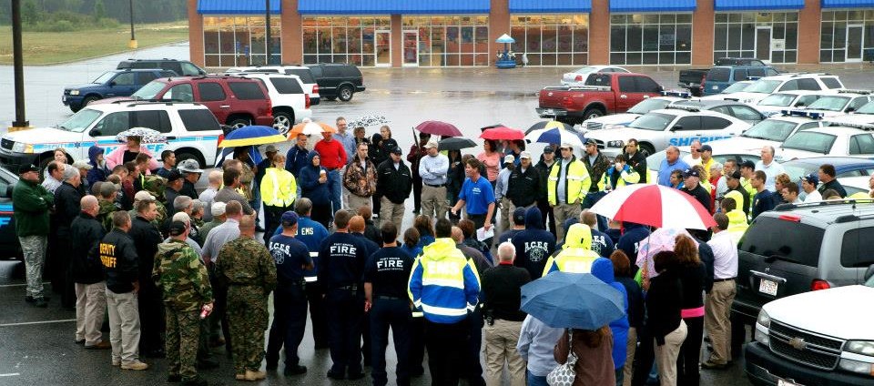
Responding to emergencies and natural disasters is a key component of emergency management. The response phase occurs immediately before, during and immediately after an emergency or disaster impact. In the response phase, we are aiming all our resources to save lives, reduce economic losses and alleviate suffering. During the response phase, business and other operations do not function normally which can cause a change to commerce, the supply network of goods and diminish overall safety. Personal safety and wellbeing in an emergency and the duration of the response phase depend on the level of preparedness. Examples of response activities include:
- Implementing disaster response plans
- Activating the Emergency Operations Center
- Recommending a Disaster Declaration
- Opening Emergency Evacuation Shelters
- Assisting Fire, EMS & Law Enforcement with large incidents
- Assisting Partnering Agencies with managing mass emergency care, fire suppression, search and rescue, etc.
- Taking actions to protect yourself, your family, your animals, and others
- Addressing public perceptions about food safety
During disasters and emergencies, our staff may be in the field, in our mobile command center or working in our Emergency Operations Center. No matter where they are located, we can guarantee they are working to help Harnett County and our residents through any emergency. Below are useful tools to help you stay informed during a major incident.
Our GIS department has created a real-time, multifunctional map that you as a citizen can view and stay informed of road closures, river depth levels, and areas of concern in Harnett County. It is integrated with Wave to help you navigate through our county safely. For the map, click here:
To stay informed of the most up-to-date weather conditions, click here:
Download ReadyNC on any smartphone from the App Store or Google Play Store, or visit the site for emergency sheltering information.
For electrical outage maps, click here:
To obtain information about animal and agricultural response, click here: