Data Downloads
Shapefile ZIPs are updated weekly
To download a shapefile, click the relevant image below
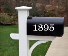
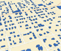
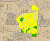
Addressing
|
|
|
|
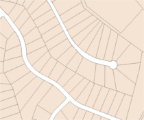
| Addresses | Building Footprints | Subdivisions |
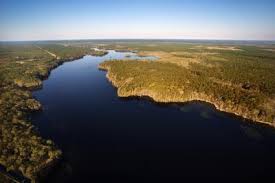
Boundaries
 |
 |
 |
 |
 |
 |
| County Boundary | ZIP Codes | Townships | City Limits | Federal Property | Surrounding County Boundaries |
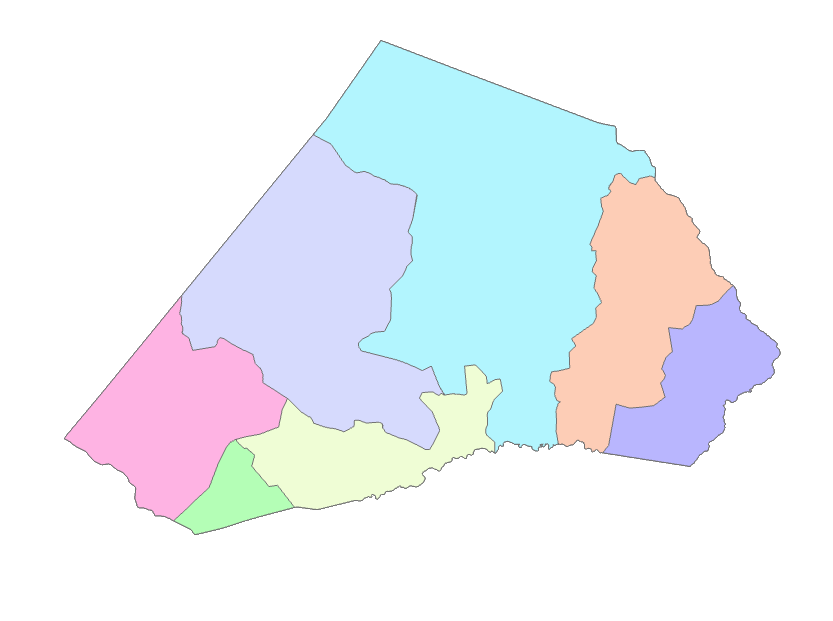
Education
 |
 |
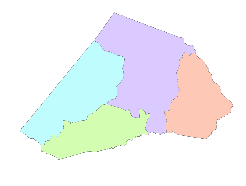 |
| Elementary School Districts | Middle School Districts | High School Districts |
 |
 |
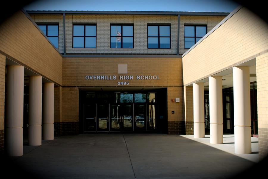 |
| Elementary Schools | Middle Schools | High Schools |
Election
 |
 |
 |
 |
 |
 |
| US House Districts |
State House Districts |
State Senate Districts |
School Board Districts |
Voter Precincts | Polling Places |
 |
 |
 |
|||
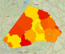
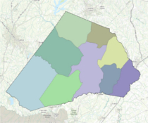
| County Commissioner Districts |
Angier Wards | Dunn Wards | Erwin Wards |
Environmental
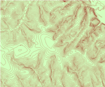 |
 |
| 5 Foot Elevation Contours | Watershed Boundaries |
Parks and Recreation
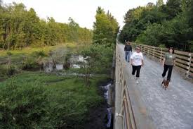 |
| Parks |
Planning
 |
 |
 |
|
| Zoning |
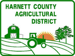
Voluntary |
Future Land Use 2025 |
Future Land Use |
Points of Interest
 |
 |
 |
 |
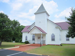
| Restaurants | Churches | Hospitals | Library |
Public Safety
 |
 |
 |
 |
 |
 |
| Fire Stations | Fire Hydrants | Sheriff Response Area | Police Departments | EMS Response Area | Fire Response Area |
Tax
 |
 |
 |
 |
| Tax Parcel | EMS Tax | Special Tax | School Tax |
Transportation
 |
 |
 |
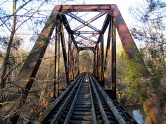 |
| Roads | Railroads | Airports | Bridges |