Harnett County, North Carolina logo with blue text and an abstract tree in green
North Carolina
  • About
    • Harnett County
    • Municipalities
    • Explore
    • Education
  • Departments
    • Board of Commissioners
    • Economic Development
    • Development Services
    • Emergency Services
    • GIS/E-911 Addressing
    • Health Department
    • Parks & Recreation
    • Social Services
    • Tax Department
    • More Departments
  • Government
    • Board of Commissioners Agenda and Meeting Packages
    • Board of Commissioners Minutes
    • Financial Documents
    • Planning Board Minutes, Agendas, and Staff Reports
    • Board of Adjustments
    • Development Review Board
    • Ordinances and Amendments
    • Major Subdivisions
    • Online Contracts
    • Resolutions

GIS/E-911 Addressing

Pages

  • Welcome
  • Apps
  • Map Gallery
  • Data Downloads
  • Report Missing or Damaged Road Name Signs
  • Rules, Regulations, and Guidelines
  • Rates and Fees
  • Forms
  • Department Resources
  • Contact Us
    • Online Inquiry

Downloads

  • Forms
    • Address Sign Order Form
    • Development and Road Name Application
    • Development Review Board and Pre-Development Standard Messages
    • Road Naming Guidelines
    • Road Sign Intention Form

Online Web Apps

GIS Viewer Map Aerial Map Fire trucks in a row parked at a station Yellow school bus driving A standing fold up sign angled away to the right towards the entrance of a building in the background. The sign has an American flag blowing to the right, an arrow pointing right
GIS Viewer Developments Emergency Services School Locator Polling Places
         
Two ambulance trucks parked back to back Black background with a blue line White church with a gray roof and a sunset of the sky Aerial map Picture of the Harnett County courthouse
EMS Viewer Law Enforcement Worship/Cemeteries Historical Aerials County Departments
         
 Green crops in a field Blueprint of a rendering Aerial map Cape Fear River with a bridge and trees  Icon that says Code Enforcement
Voluntary Agricultural
Districts
Permit Search Deed Search Parks Locator Code Violations
Sky and a sign says Severe Weather Town of Lillington logo       
Emergency Event
Response Dashboard
Lillington City Limits      

GIS/E-911 Addressing

  • 305 W. Cornelius Harnett Blvd, Suite 100, Lillington, NC 27546

  • 910-893-7523

  • 910-814-8251

  • Online Inquiry

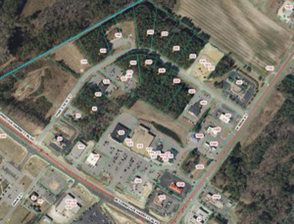
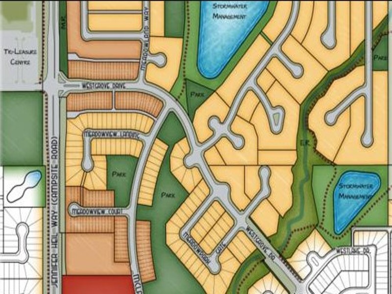
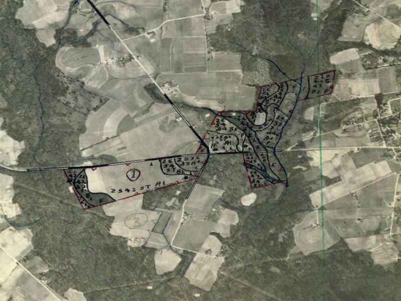
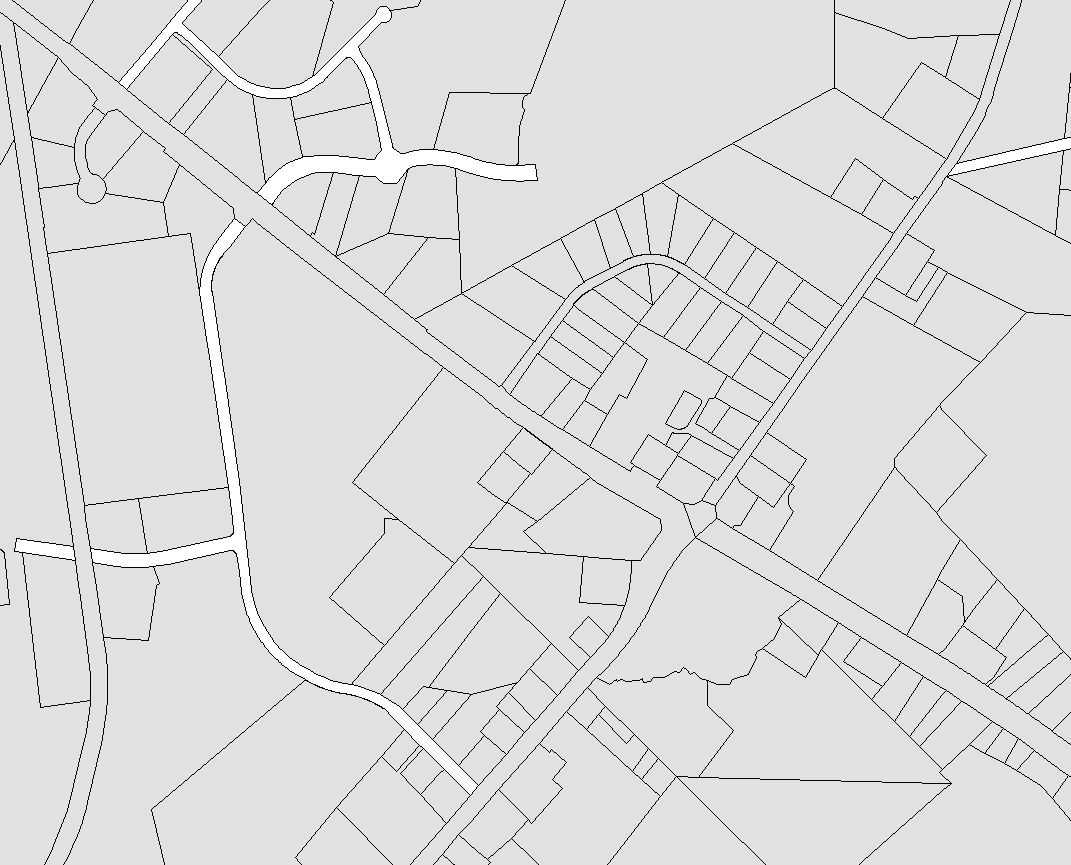
Harnett County GIS, a division of the IT Department, delivers efficient, high-quality data and analytics to County agencies, the public, and our regional partners, to meet the needs of Harnett County government and the communities we serve. The core value of GIS is to provide services that are accurate, consistent, accessible, affordable, and comprehensive. GIS also provides addresses, road name signs, and mapping.

Harnett County, North Carolina logo with white text and an abstract tree in white
© Copyright 2025 - Harnett County, North Carolina